
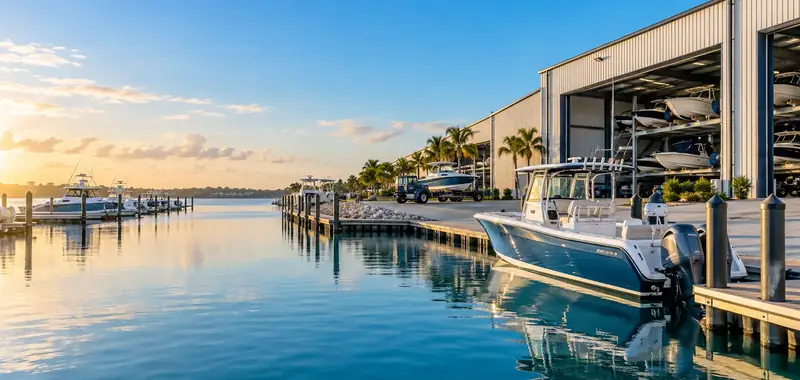
Facilities near Smithville Lake
- RecNation RV & Boat StorageSmithville, MOunder 1 mile(913) 423-2280
- RecNation RV & Boat StorageTrimble, MO1.0 miles(816) 408-6310
- Kansas City North StorageKansas City, MO8.2 miles(816) 410-0704
- Indoor
- Outdoor
- Dry stack
- All Seasons Boat & RV StorageLiberty, MO13 miles(816) 781-1966
Distance in a straight line to the nearest point of the shoreline. Lake outline: OpenStreetMap (relation/4049886, © OpenStreetMap contributors, ODbL), downloaded 2026-10-27.
Storage around Smithville Lake
The map loads when you reach it.
Map © OpenStreetMap contributors. Locations are the ones each business publishes on Google Maps.
Public boat ramps near Smithville Lake
| Ramp | Operator | Distance | Why public | Launch fee |
|---|---|---|---|---|
| Lathrop Bridge Boat Ramp | – | 9.8 miles | Tagged public | Not stated |
| Sharps Station Access | – | 11 miles | Tagged public | Free |
| Unnamed ramp | – | 12 miles | Tagged public | Not stated |
| Platte Falls Conservation Area East | – | 14 miles | Tagged public | Free |
| Platte Falls Conservation Area West | – | 14 miles | Tagged public | Free |
Boat ramps (slipways) in OpenStreetMap tagged as public or run by a public body (© OpenStreetMap contributors, ODbL), downloaded on 27 Oct 2026; straight-line distance from the center of the listed facilities. Check hours, fees, permits and lane conditions with the operator before you go.
Storage types with evidence
Facilities whose name, Google Maps category, website or reviews mention each type. Not an inspection.
Amenities mentioned
- 24-hour access2
- Gated or fenced1
- Security cameras1
- Month-to-month rental1
Same sources. «24-hour access» includes facilities listed as «Open 24 hours» every day on Google Maps.
Around Smithville Lake
- 1 of 4 facilities are on the shore or within a mile; the rest need a short tow to a ramp.
- Storage types with evidence around the lake: indoor (1), outdoor (1), and dry stack (1).
- Searches people make for this lake (Semrush, US, Oct 2026): «boat storage near smithville lake» (70).